Los Angeles sits inside a two-and-a-half-hour ring of real national parks, and most people who live there never use it. They fly to Yellowstone instead. Their loss.
Here is the honest math. From downtown LA you can be standing under a Joshua tree in under three hours, on a boat to the Channel Islands in about ninety minutes of driving plus an hour on the water, or walking the salt flats of Death Valley by early afternoon if you leave at dawn. Push a little further and you reach the biggest trees on the planet. None of these are quick stops, and the drive times you see on travel blogs assume LA traffic does not exist (it does, plan accordingly). But every one of them is a legitimate weekend, and a few work as long day trips if you are willing to get up early.
I have ordered these by what I think of as drive-cost versus payoff. Close and easy first, the long hauls last. I have also been straight about the parts nobody puts on a postcard, like summer heat that can kill you in Death Valley, parking lots that fill by 8am in Yosemite, and the fact that the Channel Islands trip costs more than a tank of gas before you ever set foot on the trail. If you only have one weekend, skip to the planning section at the bottom and I will tell you where to point the car.
The Parks At A Glance
Drive times are from downtown LA and assume reasonable traffic. Fees are the standard private-vehicle rate, good for 7 days, as of 2026. Two of these parks now add a $100 per-person surcharge for non-U.S. residents, which I have flagged in the table.
117 public lands destinations are under threat. Get the free briefing that 27,000+ people use to stay informed and take action.
| Park | Drive from LA | Best season | Signature draw | Entrance fee (per vehicle) |
|---|---|---|---|---|
| Joshua Tree NP | ~2 hr 45 min | Oct to Apr | Joshua trees and granite boulders | $30 |
| Channel Islands NP | ~1 hr 15 min to Ventura + ~1 hr boat | May to Oct (calmer seas) | Sea caves, island fox, no crowds | Free (boat from ~$63/person) |
| Death Valley NP | ~4 hr 30 min to 5 hr | Nov to Mar | Badwater Basin, sand dunes, dark skies | $30 |
| Sequoia & Kings Canyon NP | ~4 hr to 4 hr 30 min | Late spring to early fall | Largest trees on Earth | $35 (covers both; +$100 non-resident) |
| Pinnacles NP | ~4 hr 30 min to 5 hr | Feb to May | Talus caves, condors, climbing | $35 |
| Yosemite NP | ~5 to 6 hr | Late spring to fall | Granite walls and waterfalls | $35 (+$100 non-resident) |
1. Joshua Tree National Park
Drive time from LA: about 2 hours 45 minutes (roughly 130 miles via I-10 east to Highway 62)
Entrance fee: $30 per vehicle, good for 7 days. No entry reservation required.
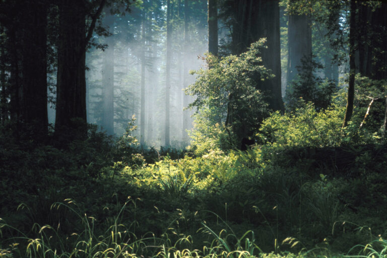
Start here if you start anywhere. It is the closest real wilderness to LA, the drive is genuinely easy, and the payoff per mile driven is the best on this list. Joshua Tree National Park was protected as a national monument in 1936 and upgraded to a national park in 1994. It sits at the seam where two deserts meet, the higher, cooler Mojave in the north and west, and the lower, hotter Colorado Desert in the south and east. The Joshua trees themselves only grow in the Mojave half, so the park changes character completely as you drive through it.

What to actually do here. The boulders are the secret. People come for the trees and leave talking about the rock. Hidden Valley is a flat one-mile loop ringed by climbing walls and it is the best introduction to the park, especially with kids. Drive up to Keys View late in the afternoon for the long look down into the Coachella Valley and across to the San Andreas Fault. If you have the legs, the trail out to Ryan Mountain is three miles round trip with the best summit view in the park. And stay after dark. Joshua Tree has some of the darkest skies in Southern California, dark enough that the Milky Way reads clearly with the naked eye once you get away from the campgrounds.
Honest caveats. Summer is brutal. June through September routinely runs past 100 degrees and the desert does not care how fit you are. Go October through April. Spring weekends and the cooler months pull big crowds, and while there is no timed-entry system, the popular trailhead lots fill by mid-morning. Enter through the West Entrance before 8am if you want a parking spot at Hidden Valley. Bring far more water than you think you need, because there is almost none for sale inside the park.

Watch Our Joshua Tree Film

2. Channel Islands National Park
Drive time from LA: about 1 hour 15 minutes to Ventura Harbor (roughly 67 miles up US-101), then about an hour on the boat
Entrance fee: none. You pay for the boat instead. Island Packers runs the ferry from Ventura, and round-trip day fares start around $63 for adults and $45 for kids. Book ahead, walk-up space is rare.
The shortest drive on this list comes with the biggest asterisk. Channel Islands National Park protects five of the eight islands off the Southern California coast, and you cannot drive to any of them. The drive to the harbor is the easy part. The crossing is what keeps the crowds away, which is exactly why the islands feel like California looked two hundred years ago. The park was established in 1980 and covers about 249,000 acres of land and sea. Santa Cruz, the largest island and the one most people visit, is roughly a one-hour boat ride out of Ventura.
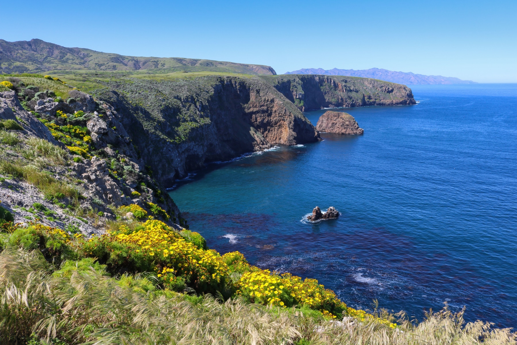
What to actually do here. On Santa Cruz, the hike up to Cavern Point and along the bluff to Potato Harbor is the easy win, about two miles of cliff-edge ocean views that you will photograph more than you walk. The trail down to Smugglers Cove is longer and quieter if you want to outrun the day-trippers. The real draw, though, is the water. Santa Cruz holds one of the largest sea caves in the world, and the kayaking through the caves and along the kelp forests is the best in the state. Watch for the island fox, a cat-sized animal found nowhere else on Earth that has gone from near-extinction back to thriving, and is bold enough to walk right through your picnic.
The Chumash people lived on these islands for thousands of years, fishing and trading across the channel long before any European saw the coast. The park visitor center back in Ventura is worth thirty minutes before you sail to understand what you are about to see.
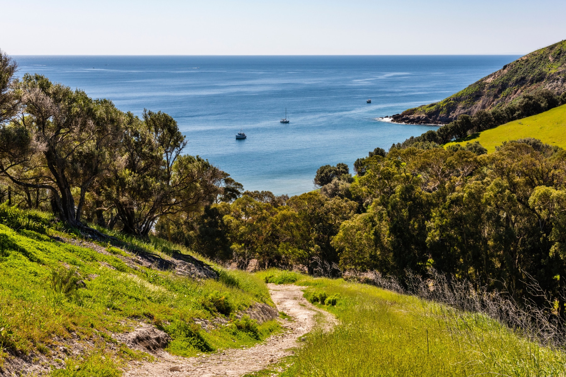
Honest caveats. The boat is the whole trip. If the seas are rough the crossing gets miserable, and the channel can be genuinely choppy, so take the motion-sickness medication before you board, not after. There is no food, no store, and no shade once you land, so carry everything in and everything out. Book the earliest boat you can to maximize your hours on the island, and aim for late spring through early fall when the water is calmest and the fog burns off by midday.
3. Death Valley National Park
Drive time from LA: about 4 hours 30 minutes to 5 hours (roughly 260 miles)
Entrance fee: $30 per vehicle, good for 7 days.
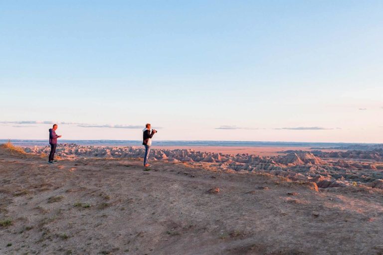
This is where the drives start to get long, and Death Valley is worth every mile. It is the largest national park in the lower 48 at 5,270 square miles, the hottest place on Earth by recorded temperature, and home to Badwater Basin, the lowest point in North America at 282 feet below sea level. It became a national park in 1994. From the west side of LA, take I-5 to Highway 14 north, then US-395 to Highway 190 into the park. From the east side, I-15 north to Baker and Highway 127 is the better line. Either way it is about the same time. Ignore any route that sends you toward San Bernardino, that is the slow way.

What to actually do here. Walk out onto the salt flats at Badwater Basin, where the cracked hexagons of salt run flat to the horizon and the air shimmers off the ground. Drive the one-way Artists Drive loop and stop at Artists Palette, where copper, iron, and manganese turn the hillsides green, pink, and gold. Get to the Mesquite Flat Sand Dunes for sunrise or the last hour before sunset, when the low-angle light rakes across the ridges and turns the whole field of dunes to fire. Zabriskie Point at dawn is the classic, and it earns the early alarm. Then stay for the stars. Death Valley is a certified International Dark Sky Park and the night sky here is as good as it gets in the country.
- Badwater Basin: the lowest point in North America, an easy walk straight out onto the salt.
- Artists Drive and Palette: a short scenic loop through mineral-stained hills, best in late-afternoon light.
- Mesquite Flat Sand Dunes: shoot them at sunrise or sunset, avoid midday entirely.
- Zabriskie Point: the badlands overlook, unbeatable at first light.
- Furnace Creek Visitor Center: water, maps, current road conditions, and air conditioning.

Honest caveats. Do not visit in summer. From late spring through early fall this park can hit 120 degrees, and the Park Service is not exaggerating when it tells you not to hike after 10am. Go November through March. Cell service is almost nonexistent, gas is expensive and far apart, so fill up before you arrive and carry several gallons of water per person. Flash floods occasionally close roads, so check conditions at the visitor center before you commit to any backcountry route. For a full breakdown of how to spend your time, see our guide to things to do in Death Valley.
Watch Our Death Valley Film

4. Sequoia & Kings Canyon National Parks
Drive time from LA: about 4 hours to 4 hours 30 minutes (roughly 215 miles via I-5 and Highway 65/198)
Entrance fee: $35 per vehicle, good for 7 days, and it covers both parks. Non-U.S. residents pay an additional $100 per person as of 2026.
Two parks, one entry fee, and the largest living things on the planet. Sequoia and Kings Canyon sit side by side in the southern Sierra Nevada and the Park Service runs them as a single unit. Sequoia was established in 1890, making it the second national park in the country after Yellowstone. Kings Canyon, with its own deep glacial gorge, was added in 1940. The drive up from LA climbs from sea-level smog into giant forest, and the road into Sequoia is a winding mountain grade, so leave the cruise control at home.
What to actually do here. The headliner is the General Sherman Tree, the largest tree on Earth by volume. It stands 275 feet tall and measures over 36 feet across at the base, and standing under it does something to your sense of scale that a photo never will. Walk the Congress Trail loop from there to spend an hour among the biggest sequoias without the crowd at the main tree. Over in Kings Canyon, the General Grant Tree is the second-largest tree in the world at 267 feet, the nation’s official Christmas tree, and an easy paved stroll. Both trees are named for Civil War generals, Sherman and Grant. For the full list, see our guide to things to do in Sequoia.

Climb the staircase up Moro Rock for a granite-dome view across the Great Western Divide, drive out to Crescent Meadow that John Muir called the jewel of the Sierra, and walk through the Tunnel Log if you want the classic drive-your-car-through-a-tree photo. Kings Canyon Scenic Byway drops you into one of the deepest canyons in North America, though it is a seasonal road.

Honest caveats. This is high country, so the season matters more than at the desert parks. Winter brings snow and tire-chain requirements, and the Kings Canyon Scenic Byway and the Mineral King road close entirely in the cold months. Late spring through early fall is the window. Black bears are active, so use the food lockers and never leave a scented thing in your car. Summer weekends fill the main parking lots near General Sherman, so go early or use the shuttle when it runs.

5. Pinnacles National Park
Drive time from LA: about 4 hours 30 minutes to 5 hours (roughly 270 miles)
Entrance fee: $35 per vehicle, good for 7 days. The park is cashless, so bring a card.
The least-visited park on this list and, for the right kind of trip, the most surprising. Pinnacles National Park protects the eroded remains of an ancient volcano that erupted some 23 million years ago and has since been carried up the coast along the San Andreas Fault. What is left is a maze of red rock spires, fields of talus boulders, and caves formed where huge rocks wedged into the canyons overhead. It became the country’s newest national park in 2013, upgraded from a monument that Teddy Roosevelt first set aside in 1908.
What to actually do here. The talus caves are the whole reason to come. The Bear Gulch Cave Trail and the Balconies Cave Trail both take you scrambling under and between car-sized boulders, sometimes in the dark, so bring a headlamp. The High Peaks Trail is the signature hike, a strenuous loop with carved steps and railings bolted to the spires, and it is also your best shot at seeing a California condor riding the thermals overhead. Pinnacles is one of the few places these enormous birds were reintroduced to the wild, and a condor with a ten-foot wingspan passing close is something you do not forget.

Honest caveats. No road connects the two sides of the park. The East Entrance, off Highway 25 near Hollister, has the visitor center, the campground, and Bear Gulch Cave. The West Entrance, off Highway 146 near Soledad, has the Balconies area. You have to choose, or hike across, so plan which side you want before you point the car. The caves close when the resident bats are raising their pups, so check the status first. And go in spring. Summer here is hot and dry, but February through May brings wildflowers, open caves, and temperatures in the 60s and 70s.
6. Yosemite National Park
Drive time from LA: about 5 to 6 hours (roughly 280 miles)
Entrance fee: $35 per vehicle, good for 7 days. Non-U.S. residents pay an additional $100 per person as of 2026. Good news for 2026: there is no timed-entry reservation required this summer.
Calling Yosemite a park near LA is a stretch, it is a real five-to-six-hour haul and a commitment, but no roundup of California parks is honest without it, so here it is last and earned. Yosemite National Park is the one that started it all. In 1864 Abraham Lincoln signed the Yosemite Grant, the first time the federal government set land aside specifically to be preserved for the public, which makes this valley the philosophical birthplace of every other park on this page. The Ahwahnechee people lived here for generations before that, and the granite they revered, Half Dome and El Capitan, still stops first-time visitors in their tracks at Tunnel View.

What to actually do here. Walk the easy loop to the base of Lower Yosemite Fall, then crane your neck at the full 2,425-foot drop of Yosemite Falls, the tallest waterfall in North America. The waterfalls peak in May and June and can run nearly dry by late summer, so time your visit if the water is what you came for. Drive up to Glacier Point for the view down onto Half Dome and across the high country. Walk among the giant sequoias in Mariposa Grove. If you are fit and you plan months ahead for the permit, the cables route up Half Dome is one of the great hikes in the country. If you are not, the Mist Trail to Vernal Fall delivers a soaking and a payoff for a fraction of the effort.
- Tunnel View: the postcard look at El Capitan, Half Dome, and Bridalveil Fall in one frame.
- Yosemite Falls: the tallest waterfall in North America, biggest in late spring.
- Glacier Point: the high overlook of the valley and Half Dome, open when the road is clear.
- Mariposa Grove: hundreds of giant sequoias, some over 2,000 years old.
- Mist Trail: a steep, wet climb to Vernal Fall, the best short hard hike in the valley.

Honest caveats. There is no reservation system for summer 2026, which sounds like good news until you are sitting in the entrance line. The valley parking lots are effectively full by 7:30am on busy days, so the only real fix is to arrive at dawn or stay inside the park. Tioga Road and Glacier Point Road close in winter and often do not reopen until late spring or early summer, so the high country is off the table much of the year. And the valley floor in July is its own kind of crowded, more theme park than wilderness. Go in late spring for the waterfalls or in fall for the quiet.
How To Pick, And A Weekend Plan
If you only get one weekend, here is how I would choose.
- Easiest first trip: Joshua Tree. Closest, cheapest, and the highest payoff for the least driving. Leave Saturday morning, camp or grab a place in the town of Joshua Tree, and you are home Sunday night having seen the boulders, Keys View, and a sky full of stars.
- Best escape from the crowds: Channel Islands. The shortest drive, the fewest people, and a boat ride that filters out everyone unwilling to make the effort. Just budget for the ferry and pick a calm-weather weekend.
- Best winter trip: Death Valley. While the Sierra parks are buried in snow, Death Valley is in its prime November through March. It is a longer drive, so make it a true two-night weekend.
- Best summer trip: Sequoia and Kings Canyon. When the deserts are deadly, the giant forest is cool and green, and you get two parks on one fee. The biggest trees on Earth are worth the four-hour drive.
- The bucket-list haul: Yosemite. Five to six hours each way means do not attempt it as a day trip. Take three days, stay inside or just outside the park, and beat the parking by being on the road before sunrise.
One more honest note on what counts as near. People always ask about Zion and the Grand Canyon, and yes, you can reach both from LA, but they are six to eight hours out and over state lines, so they belong on a different list. If you want a true day trip and not a national park, the Angeles National Forest sits inside an hour’s drive of more than twenty million Angelenos and covers over 650,000 acres of mountains right above the city. It is the closest big wild place LA has, and it is free.

Frequently Asked Questions
Joshua Tree National Park is the closest true national park to Los Angeles by drive time, about 2 hours 45 minutes east of downtown. Channel Islands National Park is a shorter drive (about 1 hour 15 minutes to Ventura Harbor) but requires an hour-long boat ride to reach the islands.
Channel Islands National Park sits off the Southern California coast and protects five islands. You reach it by boat from Ventura Harbor, about a 1 hour 15 minute drive from LA plus roughly an hour on the water to the most-visited island, Santa Cruz.
The Angeles National Forest sits within an hour’s drive of more than 20 million people in Greater Los Angeles and covers over 650,000 acres of mountains directly above the city. It is the nearest large wild area to LA and there is no entrance fee.
A word on who is telling you this. More Than Just Parks is a family operation. My sons Will and Jim are filmmakers who have spent years on the ground in these parks, on assignment with the National Park Service, the Department of the Interior, the USDA, and the U.S. Forest Service. I taught American history for 25 years, and I write our history and travel guides. The drive times and the warnings above come from our family making those trips, gear in the trunk, not from a search engine.