
Montana · Area of Critical Environmental Concern
Cow Creek
BLM found a natural system, a scenic value and a natural hazard here, and its plan calls for special management. BLM's records place no claim, lease or right of way inside the line today, and six grazing allotments cover part of it. It covers 19,414 acres and was designated December 4, 2008, in the UMRBNM RMP (2009). In the plan's name, UMRBNM stands for Upper Missouri River Breaks National Monument and RMP for resource management plan. The plan's name carries a later year than that date: BLM's map gives the date it records for the area, and a plan approved later can carry forward an area designated earlier.
One of the 1,120 places the Bureau of Land Management has designated an Area of Critical Environmental Concern. This page shows its line, what BLM found there and what sits inside it.
The line
Ground: USGS The National Map, topographic tiles. Boundaries: BLM's own, read Oct 20, 2026. The 6 grazing allotments below aren't marked.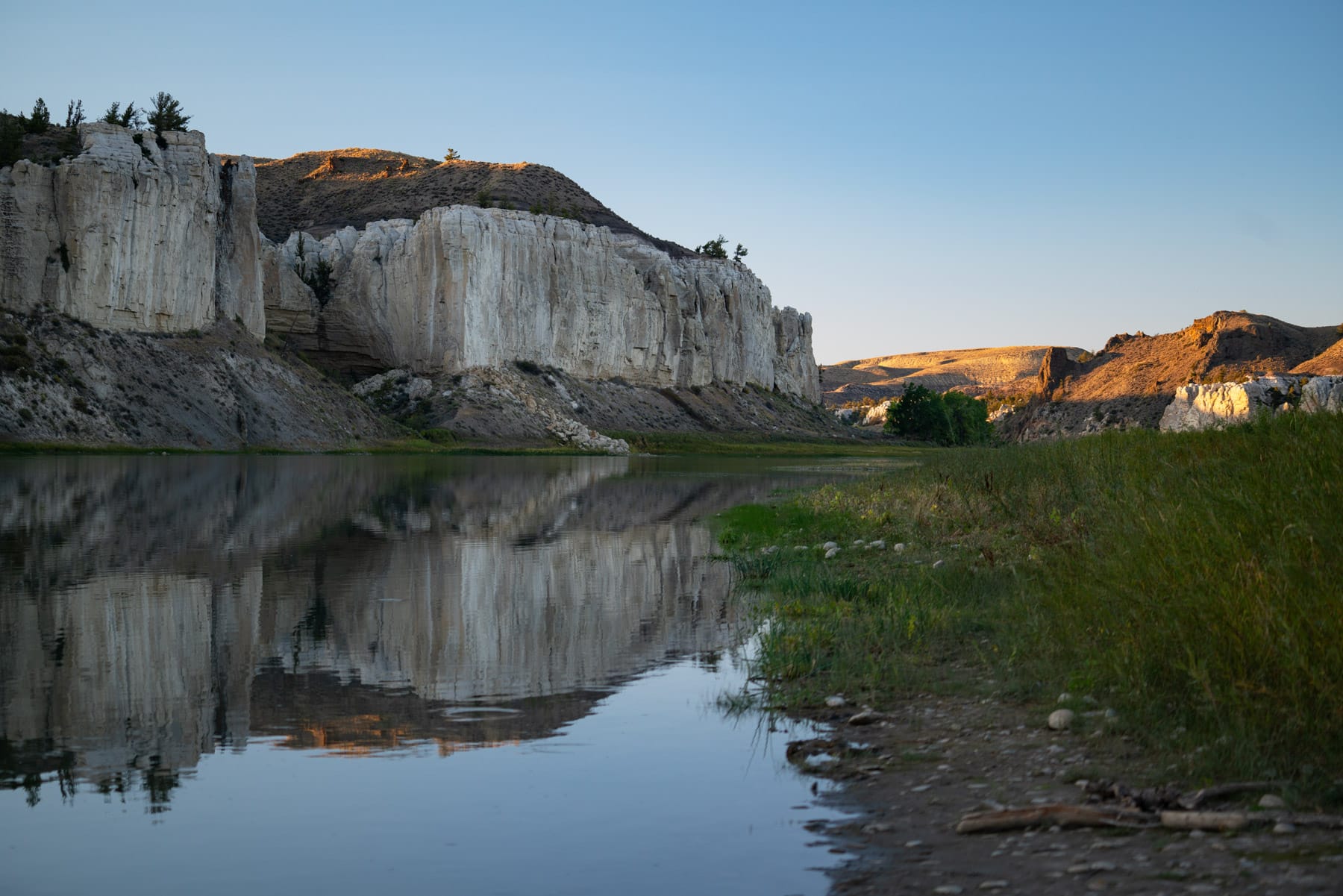
Grazing allotments
6 grazing allotments cover part of this line. Their permittees aren't named here yet.
- Antelope Creek51,795acres
- Bullwhacker48,907acres
- Cabin Creek25,780acres
- Little Bullwhacker23,736acres
- Hay Coulee16,600acres
- Spencer Ridge10,257acres
The nearest areas
- Zortman/Landusky Mine ReclamationMontana/Dakotas · 2,686 acres · at least 4 active mining claims, 17 rights of way, 2 grazing allotments covering part of it19miles
- Azure CaveMontana/Dakotas · 143 acres · a grazing allotment covering part of it20miles
- Acid Shale-Pine ForestMontana/Dakotas · 2,674 acres · 6 grazing allotments covering part of it54miles
- Square ButteMontana/Dakotas · 797 acres · 2 grazing allotments covering part of it65miles
- Malta GeologicMontana/Dakotas · 6,153 acres · 1 right of way, 4 grazing allotments covering part of it71miles
More from BLM's Montana/Dakotas office
Every area BLM's Montana/Dakotas office holdsThe proposed rule
A proposed rule, RIN 1004-AF53, would change how BLM drafts every land use plan, and how it designates ACECs like Cow Creek. The comment window hasn't opened: the proposed rule wasn't in the Federal Register at our last check. The Watch sends one email the day it prints.
The rule's abstract
The purpose of this rulemaking is to establish in regulations an updated process for the approval of the development, revision, amendment, and maintenance of land use plans, as provided for by the Federal Land Policy and Management Act of 1976, for public lands administered by the Bureau of Land Management (BLM). Additionally, this rulemaking will provide clarification of the process the BLM uses for designating Areas of Critical Environmental Concern.Unified Agenda entry for RIN 1004-AF53, Publication ID 2026, reginfo.gov (OMB OIRA), read Oct 18, 2026