
Stop commercial logging across 14,400 acres near Sisters
Sisters Canyons Active Restoration Project
U.S. Forest Service· Sisters Canyons, Sisters Ranger DistrictU.S. Forest Service project page ↗
Forest ServiceWe track this on the agency’s own system of record, where most on-the-ground decisions live.
The groups on this fight
4 groups work Oregon
By footprint, from the same match the STAND matchmaker runs; none is linked to this decision in our record yet. Give straight to them; nothing routes through us.
- Cascadia Wildlands
Works Oregon: plaintiff in the January 2026 suit against the Roseburg BLM plan to log nearly 7,000 acres near Camas Valley.
- Crag Law Center
Works Oregon: represented Bird Alliance of Oregon, the Center for Biological Diversity, and Cascadia Wildlands in the 2012 Endangered Species Act suit over logging occupied murrelet habitat, which ended in the 2014 settlement canceling 28 timber sales..
- Oregon Natural Desert Association
Works Oregon: anchors the McDermitt Caldera Coalition on the Oregon side and fought the BLM's December 2025 approval of the Jindalee/HiTech lithium exploration project through the permitting process..
- Oregon Wild
Works Oregon: repeat plaintiff against BLM old-growth sales on the O&C lands, including the Coast Range project where courts halted logging of stands with trees over a thousand years old.
Every group above is on STAND for Public Lands, with its court record, its filings and who backs it.
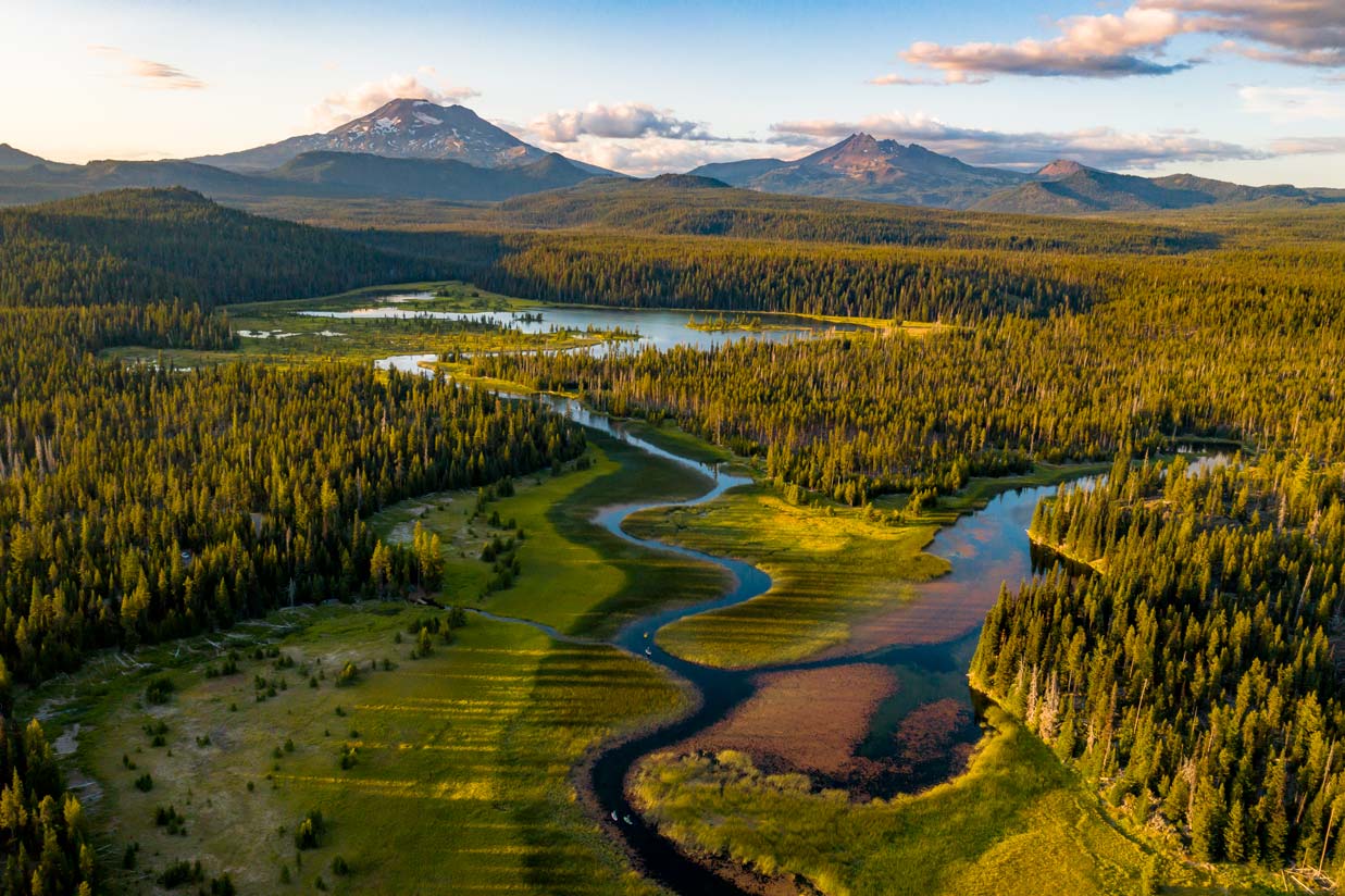
The Forest Service plans to commercially log, thin, and burn a large stretch of the Deschutes National Forest outside Sisters, Oregon.
What’s at risk
About 14,400 acres of forest in the Sisters Canyons area face commercial timber harvest, mechanical thinning, mowing, and prescribed burning. This project would permanently alter the forest structure across a large swath of public land.
If this goes through
Commercial logging and mechanical treatments would reshape thousands of acres of the Deschutes National Forest, with changes that cannot be undone once trees are removed.
Our plain-English read of the official notice ↗. Check it against the agency’s own words below.
In the agency’s own words
The proposed action includes approximately 14,400 acres of thinning (shaded fuels break, commercial and small tree), mowing, and/or prescribed burning. In addition, a well-established user trail within an isolated Forest Service parcel would be added to the Forest Service trail system.
The reporting behind this
From More Than Just ParksAnother foreign mining company wants a piece of America’s public lands. This one comes with millions of gallons of groundwater pumping and radioactive radon.
After more than a decade chasing peak color across America, we built the foliage map we always wanted.
The administration went looking for a sliver of Yosemite for a private developer and finally convinced the rest of public-lands world that if Yosemite is negotiable, nothing is safe.
More actions that need you
Go deeper, free
See how your members of Congress vote on public lands
Every representative, graded on the votes that decide the fate of parks, forests, and refuges.
Open ↗The mapSee the places under active threat
A live map of the parks, monuments, and wild country in the crosshairs right now.
Open ↗A wrong fact, a dead link, a form that wouldn’t take your letter: one tap and it comes to the people who build PLAN, with this fight attached.
Know an open comment period we are missing, or spotted a wrong deadline? .