The latest threats, deadlines, and developments across America's public lands
Why we built it, how it works, and how to use it
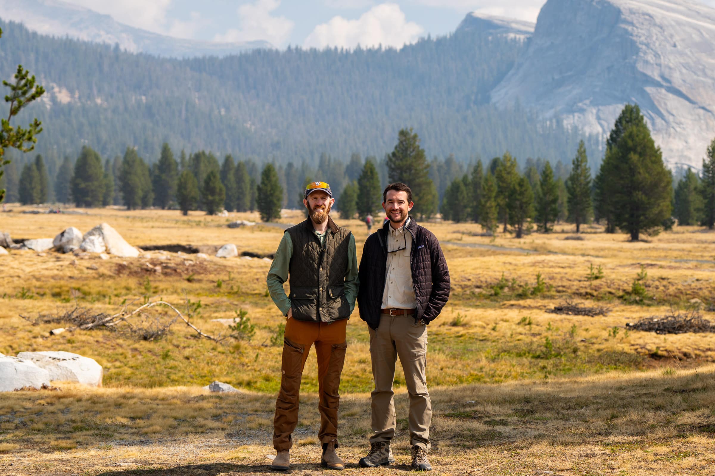
We're Will and Jim Pattiz, brothers and founders of More Than Just Parks. Our films about America's public lands have been viewed over 100 million times. They've been used by the National Park Service, featured by The New York Times, and screened in the U.S. Capitol.
We built this map because these places are under attack on more fronts than any one person can track. Threats are buried in federal register notices, hidden in appropriations riders, and advanced through agency actions that never make the news. This map puts them all in one place, with sources, timelines, and a phone number for every single one.
A site belongs on this map when it meets four criteria. It must be publicly owned land, whether federal, state, or tribal. There must be a specific, documented, current threat, meaning an identifiable action like a bill, a lease sale, a permit, a court case, or a budget cut. That threat must be traceable to a source: a federal register notice, a news report, a court filing, or an official agency action. And there must be something the public can do about it, whether that means calling a representative, submitting a public comment, or supporting an organization working on it.
We do not track general climate impacts without a specific policy driver, historical damage without an active current threat, local zoning disputes on private land, or speculative concerns without documentation. If you believe a site meets these criteria, report it here.
Classifications are based on federal register notices, news reporting, agency actions, court filings, and input from conservation organizations. Every threat links to its source.
"We're done playing defense. For too long, the people dismantling public lands protections have counted on nobody keeping track. This map exists so that every backroom deal, every midnight rider, every quiet lease sale gets dragged into the light. And every single one links to a phone number. We built this to go on offense."
Will Pattiz, co-founder
"This is a war room for people who give a damn. When someone copies a call script and phones their senator, when a local group in Oregon uses this to rally against a timber sale, when a reporter finds a sourced lead they didn't know existed, that's the whole point. These are your lands. This is how you fight for them."
Jim Pattiz, co-founder
The Threatened Public Lands Map is a continuously updated, community-powered tracker monitoring active threats to America's national parks, monuments, forests, and wilderness areas across all 50 states. It is the only tool of its kind.
About More Than Just Parks: Will and Jim Pattiz are brothers, filmmakers, and the founders of More Than Just Parks. Their short films celebrating America's public lands have been viewed more than 100 million times, used by the National Park Service in visitor centers across the country, featured in The New York Times, and screened on the floor of the United States Capitol. In 2025, they launched a Substack newsletter that has grown to more than 20,000 subscribers and become one of the leading independent voices in the public lands conservation space. Every tool they build, including this map, is entirely self-funded. No grants. No corporate sponsors. No advertising.
This project is entirely self-funded. If it was useful to you, a subscription keeps it running.
Support Our Work